How a GPS audio guide knows when to start talking
Geofences, GPS accuracy in old streets, and why Xploreo waits until you are about 50 metres from a place before it plays. A plain explanation of what happens between your position and your headphones.
Xploreo3 min read
In short
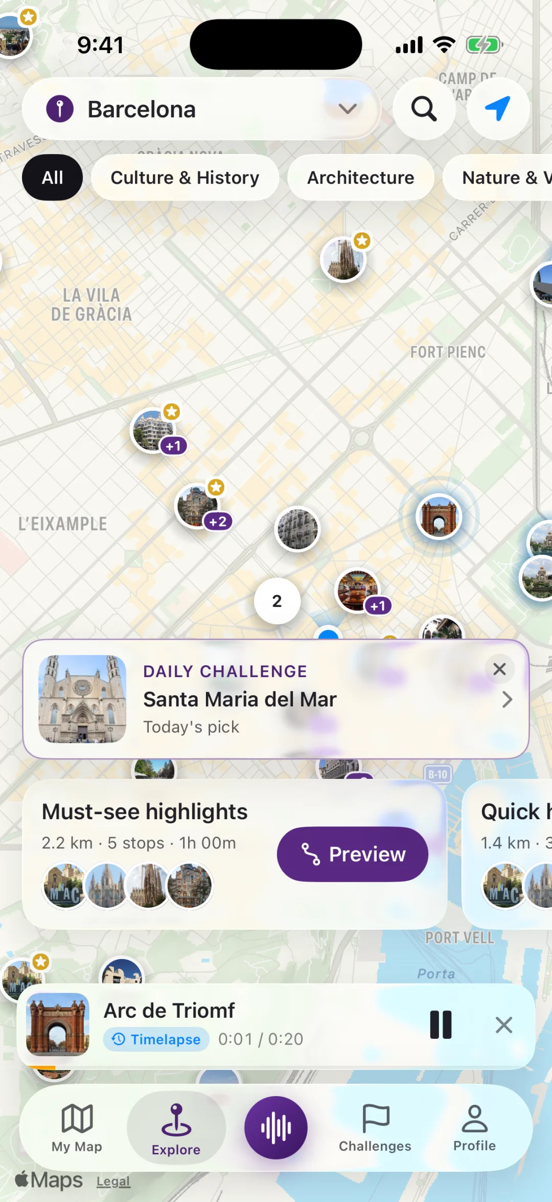
- A story is triggered by distance, not by a map pin you tap: when your position comes within about 50 metres of a stop, the audio starts.
- Phones in narrow old streets place you with an error of 10 to 30 metres, which is why the radius is 50 and not 10.
- Only your phone watches your position. On a route the app checks it continuously; outside a route it does nothing unless you ask.
An audio guide that plays by itself looks like magic the first time. It is not: it is a distance calculation that runs a few times a second. Here is what happens between the GPS chip in your phone and the narrator starting a sentence, and the choices behind it.
Where the phone thinks you are
Your phone combines satellite positioning with Wi-Fi networks and cell towers it can see, and reports a position with an accuracy figure: "you are here, give or take 12 metres". In open squares that figure is small. In the lanes of a medieval quarter, with five-storey walls on both sides, satellites are blocked and reflected, and the error grows to 20 or 30 metres. Sometimes the dot jumps across a block and back.
An audio guide has to live with that. If it demanded that you stand within 10 metres of a doorway, it would miss you half the time in exactly the places that are most worth stopping at.
The 50-metre rule
Xploreo starts a stop's story when your position comes within about 50 metres of it. That number is a compromise between two failures: a radius so small that a reflection off a wall keeps you "outside" the stop while you are standing in front of it, and a radius so large that a story starts a street early, before you can see the building it is about.
Fifty metres is roughly the length of a city block side. In practice it means the narrator begins as the place comes into view, which is when you would want a guide to start talking anyway.
What the app watches, and when
While you are walking a route, the app keeps your position updating and checks the distance to the next unvisited stop. The check runs against the route's stops in order, so passing close to stop five on the way to stop two does not set stop five off early; the app knows where you are in the sequence and only listens for the stop that is next.
Outside a route the app does nothing unless you ask. Tap a place on the map and its story plays; turn on autoplay for nearby places and the same 50-metre rule applies to whatever is around you. That is a choice: a map full of places would otherwise talk at you every time you stopped at a crossing.
Keeping the screen in your pocket
Audio continues when the screen locks, with play and pause on the lock screen like any other audio app. That is standard iOS behaviour and it matters more here than for a podcast: the whole point is to look at the building, not at the phone.
When the signal is poor
Under a railway bridge or inside a covered market the phone may stop reporting a position for a while. The app does not guess; it waits. When positions come back it recalculates the distance to the next stop. If you have walked past a stop entirely while the signal was gone, nothing plays for it, and you can tap it from the route list.
Positions with a very poor accuracy figure are ignored for the purpose of triggering a story. A reading that says "somewhere within 200 metres" is not good enough to start talking about a specific doorway.
What is not tracked
Only your phone sees your position while you walk. On your own walk nothing about where you went leaves the device: the line you walked is saved on the phone for your own history. If you join a friend's walk through a guest pass, you see where the leader is on the map, but guests' positions are not shared with anyone.
Why not just play in order?
Some audio tours play track after track and leave you to match them to buildings. The problem is pace: people stop for a coffee, take a detour for a photograph, or walk the loop backwards. Distance-based triggering means the walk sets the pace and the stories keep up. The route is a loop rather than a line for the same reason: wherever you start, you end there too, without retracing your steps.
- GPS
- geofencing
- how it works
Blog
Keep reading
 City walks
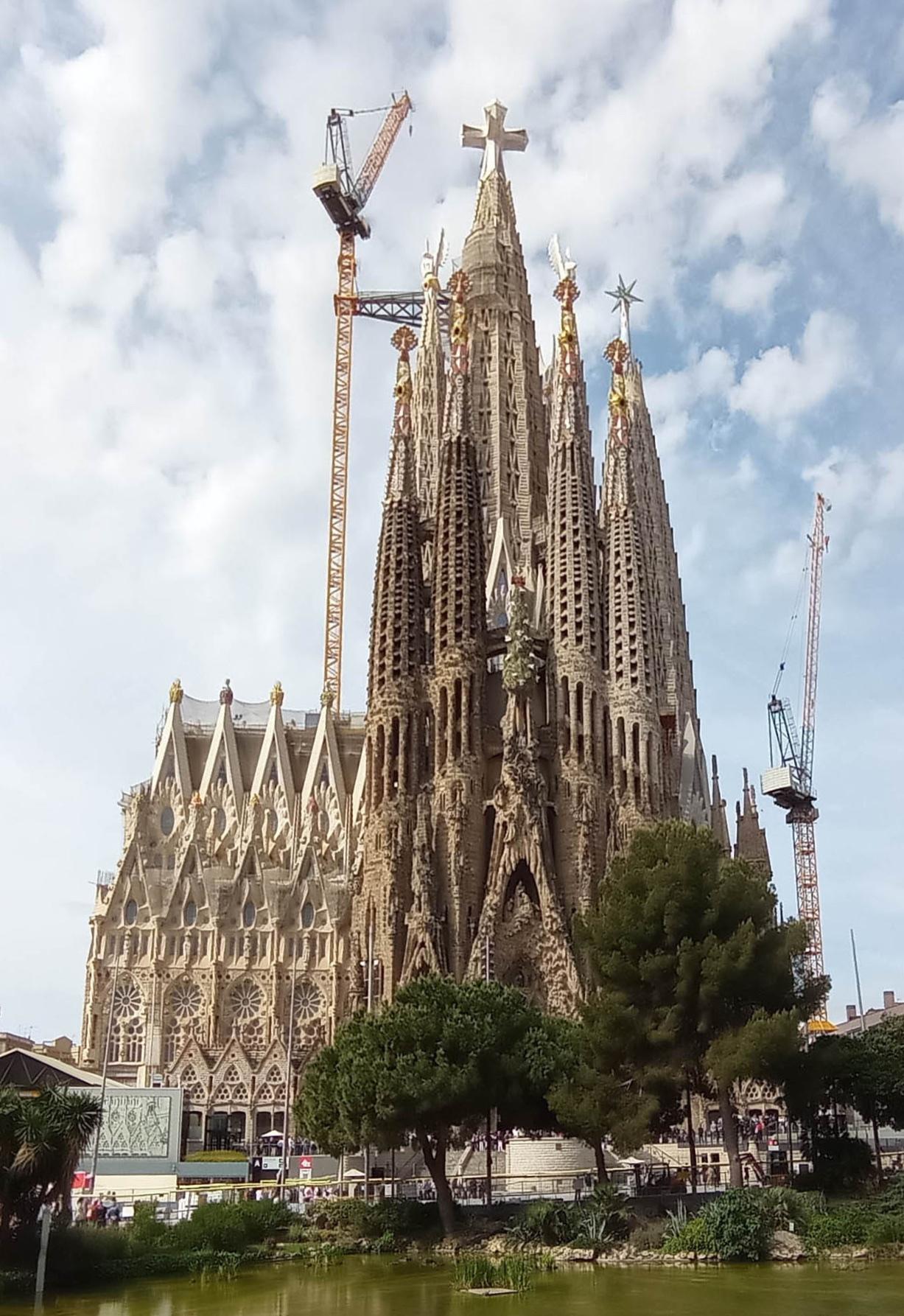
A self-guided walking tour of Barcelona's Gothic Quarter: 8 stops in 2 hours
A loop through the Barri Gòtic that starts and ends at the cathedral, with the Roman walls, the Jewish quarter and the bridge everyone photographs. Walk it with the app or with this page.
· 4 min read
 City walks
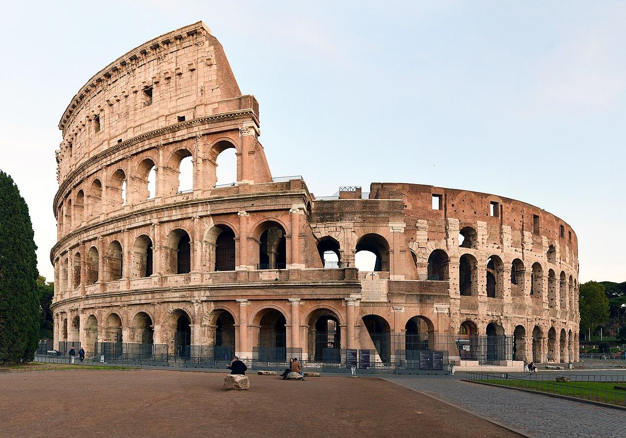
Rome after sunset: a 90-minute loop through the centro storico
Piazza Navona, the Pantheon, the Trevi Fountain and the Spanish Steps once the coaches have left. A short evening loop that starts and ends at Campo de' Fiori.
· 3 min read
 City walks
Berlin's Stolpersteine: how to read the brass stones under your feet
There are thousands of small brass plaques set into Berlin's pavements. What they say, who put them there, and why Xploreo shows them as their own layer rather than as stops.
· 3 min read