Berlin's Stolpersteine: how to read the brass stones under your feet
There are thousands of small brass plaques set into Berlin's pavements. What they say, who put them there, and why Xploreo shows them as their own layer rather than as stops.
Xploreo3 min read

In short
- Each stone marks the last freely chosen home of one person persecuted under the Nazis; the inscription gives the name, birth year and fate.
- The project is the work of the artist Gunter Demnig and has placed more than a hundred thousand stones across Europe since the 1990s.
- In the app they appear as a separate layer at street zoom, grouped by address, and never as route stops.
Walk any residential street in Berlin's older districts and you will cross them: squares of brass ten centimetres wide, set flush into the pavement outside a doorway, each with a few engraved lines. They are Stolpersteine, "stumbling stones", and there are thousands of them in the city.
What a stone says
The inscriptions follow a fixed form. "Hier wohnte" (here lived), then a name, a year of birth, and what happened: deported, the year, the place, and usually "ermordet" (murdered) with a date, or "Flucht" (fled) with a destination. Some say "Freitod", a death by suicide ahead of deportation. A stone may stand alone or in a group of a family, laid side by side.
The address is the point. A stone is placed outside the last home a person chose freely, before they were forced out, so that the memorial sits in daily life rather than in a museum. The word on the stone is often the only public record that the person lived there.
Who put them there
The project began with the artist Gunter Demnig, who laid the first stones in the 1990s and has since extended the practice across Europe with local groups who research the names and pay for each stone. Berlin has more than any other city. Stones are added every year, each one usually with a short ceremony and relatives present where any can be found.
They commemorate everyone persecuted by the Nazi regime: Jews first and in the greatest number, and also Sinti and Roma, political prisoners, homosexual men and women, people with disabilities who were murdered under the "euthanasia" programme, and others.
How to look at them
You are meant to stumble over them with your eyes, not your feet. Stop, read the name, read the year. The brass is polished by shoes and fades to brown where few people walk; some neighbourhoods clean their stones on the anniversary of the November 1938 pogrom. Bending down to read one is the whole gesture.
Districts with the most stones include Charlottenburg, Schöneberg, Mitte, Prenzlauer Berg and Kreuzberg, which is to say the streets where Berlin's Jewish middle class lived before 1933. The Bayerisches Viertel in Schöneberg, where Albert Einstein once lived, has both stones and a separate set of street signs quoting the laws that step by step removed Jewish residents from public life.
Why the app treats them differently
Berlin's map in Xploreo holds roughly ten thousand places, and a large share of them are memorial stones: more than six thousand. If they were ordinary stops, they would crowd out everything else on the map, pull every walking route towards whichever street had the most of them, and be read aloud by a narrator in a tone that belongs to a palace, not a name.
So they are their own layer. They appear when you zoom in to street level, grouped by address so a family's stones are one marker, with the inscription shown as text. They are never route stops and never ranked against monuments. The grade system that puts the Brandenburg Gate at the top does not apply to them; they sit outside it on purpose.
Where a memorial plaque has its own recorded story, the app keeps it as a stop. The stones do not. They are there to be noticed on the way to somewhere else, which is how they were meant to work.
- Berlin
- Stolpersteine
- memorials
Blog
Keep reading
 City walks
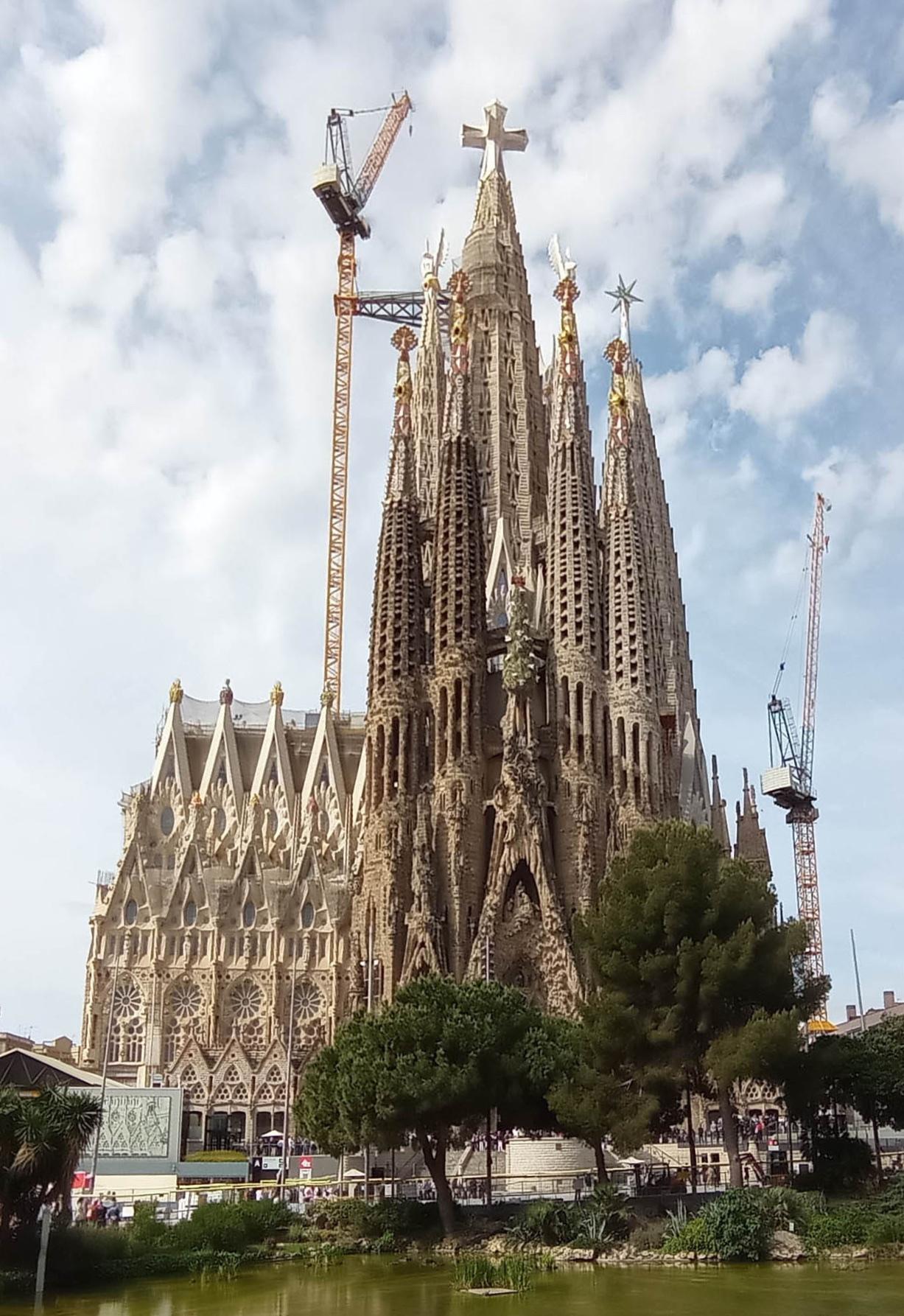
A self-guided walking tour of Barcelona's Gothic Quarter: 8 stops in 2 hours
A loop through the Barri Gòtic that starts and ends at the cathedral, with the Roman walls, the Jewish quarter and the bridge everyone photographs. Walk it with the app or with this page.
· 4 min read
 City walks
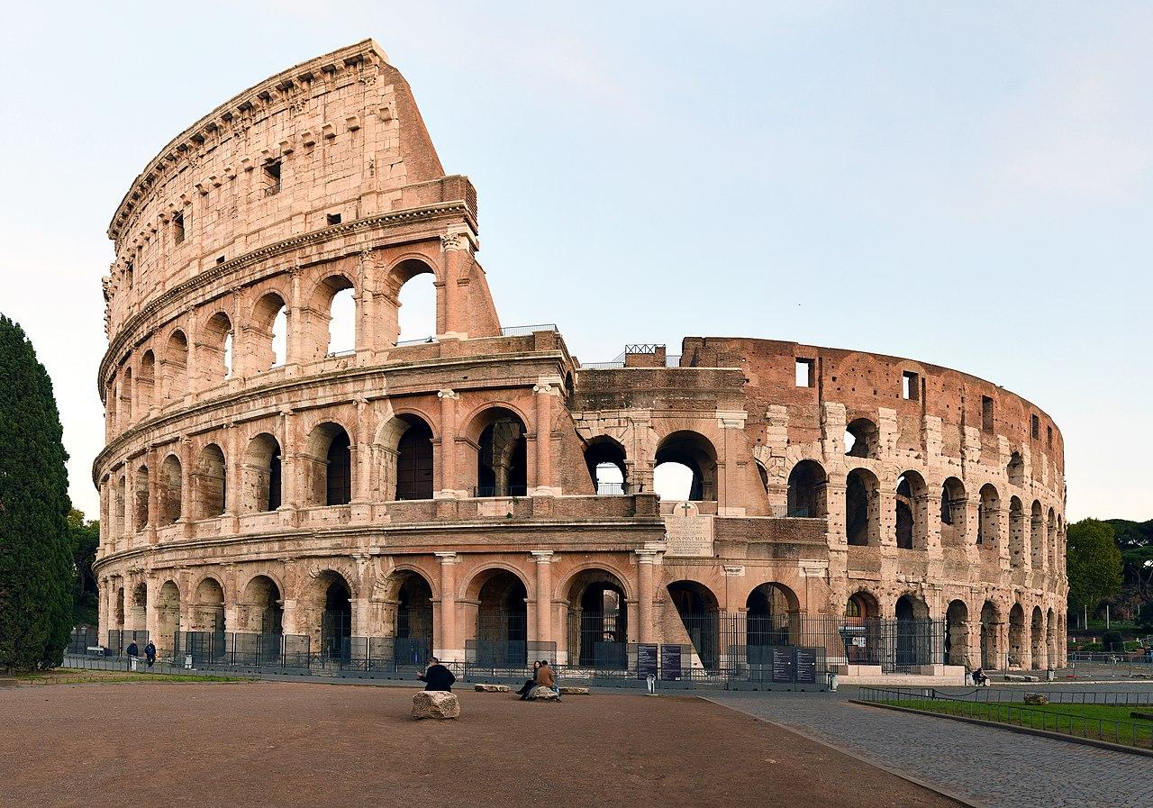
Rome after sunset: a 90-minute loop through the centro storico
Piazza Navona, the Pantheon, the Trevi Fountain and the Spanish Steps once the coaches have left. A short evening loop that starts and ends at Campo de' Fiori.
· 3 min read
- Audio guides
How a GPS audio guide knows when to start talking
Geofences, GPS accuracy in old streets, and why Xploreo waits until you are about 50 metres from a place before it plays. A plain explanation of what happens between your position and your headphones.
· 3 min read