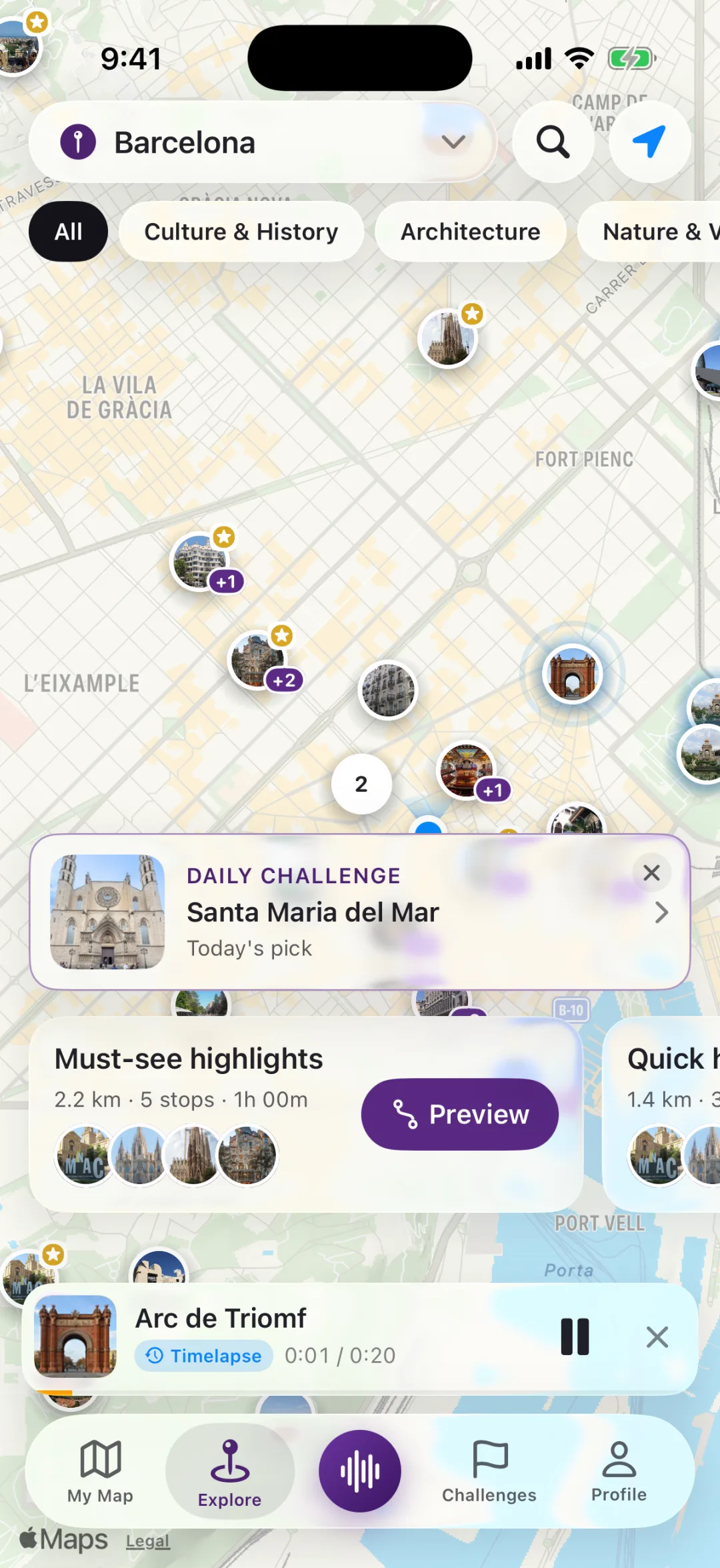
The map covers roughly ten thousand places, from Mitte's museums to the traces of the Wall in Kreuzberg and Prenzlauer Berg. Every stop is graded, and routes favour the significant ones.
The city's Stolpersteine, the small brass memorial stones outside the homes of people deported by the Nazis, have their own layer at street zoom. They are not route stops; they are there to be noticed as you pass.
Walks to ask the app for
Mitte in two hoursabout 2 hBrandenburg Gate, Unter den Linden, Gendarmenmarkt and Museum Island.
Along the Wallabout 2 hCheckpoint Charlie, the Topography of Terror and the East Side Gallery.
Prenzlauer Berg on a Sundayabout 1.5 hKollwitzplatz, the water tower and the Mauerpark flea market.
On the way
Places a Berlin loop is built around
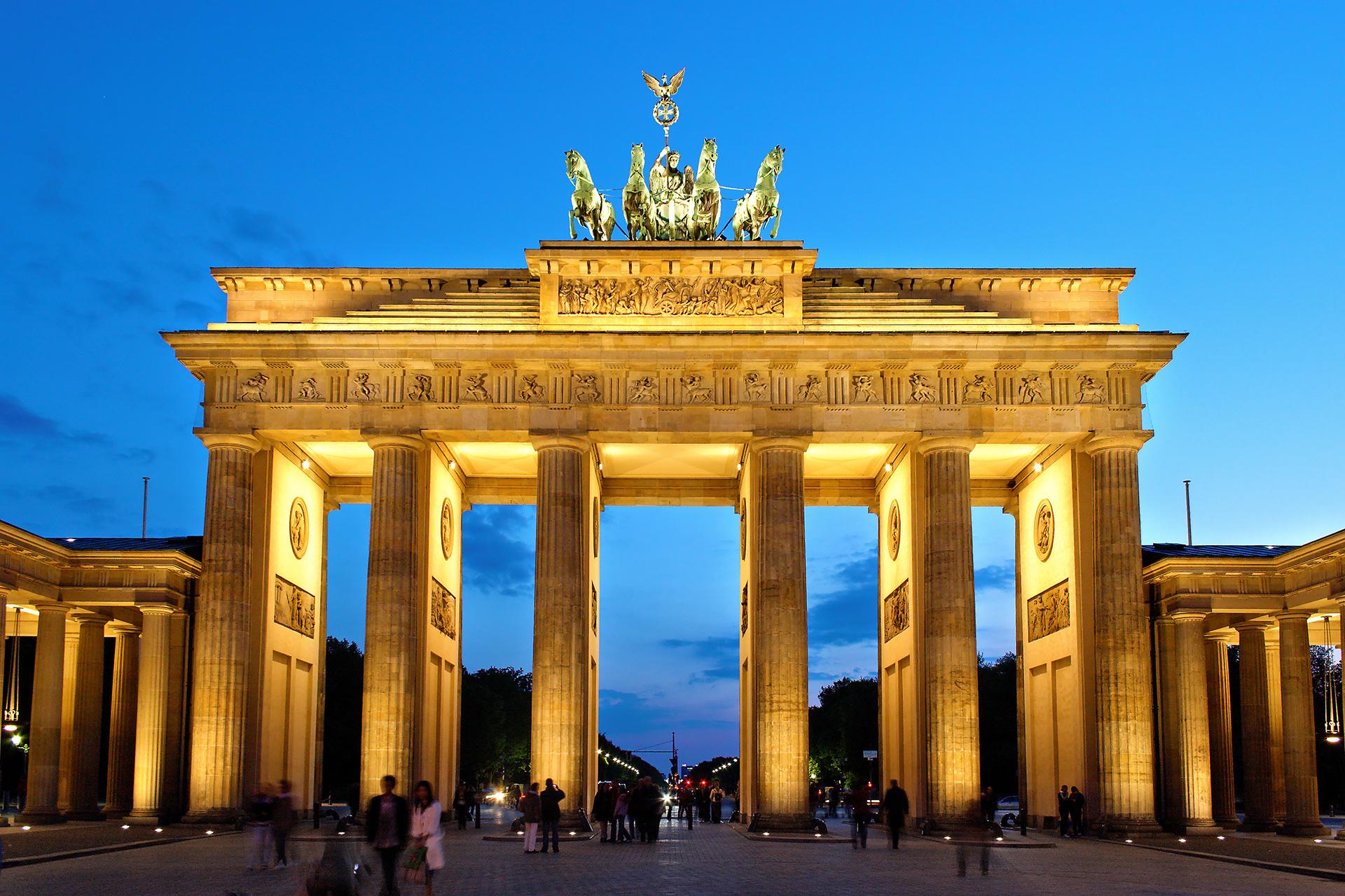
Brandenburg GateThe city's symbol, completed in 1791 and the backdrop to its 20th-century history.
ReichstagThe parliament building, with Norman Foster's glass dome from 1999.
Museum IslandFive museums on an island in the Spree, a UNESCO World Heritage site.
East Side GalleryThe longest surviving stretch of the Wall, painted in 1990.
GendarmenmarktThe square with the Konzerthaus between the French and German cathedrals.
StolpersteineGunter Demnig's brass stones, laid since the 1990s, now tens of thousands across Europe.
Before you go
Good to know in Berlin
How a loop is built, when a story starts and how friends join: see how it works.
The Reichstag dome is free to visit, but only after registering online in advance.
In the centre, a double row of cobblestones set into the street marks where the Wall stood.
Stolpersteine are set into the pavement outside the last home a person chose to live in, each with a name and dates.
There are thousands of small brass plaques set into Berlin's pavements. What they say, who put them there, and why Xploreo shows them as their own layer rather than as stops.
· 3 min read
Walk Berlin. The stories find you.
Put your headphones in, pick a city, start walking.
 City walks